Independence-area storm reports, 2023–2025
Browse dated NOAA reports for Independence-area locations. Use weather records as context alongside the condition of your own roof.
A free inspection. A closer look at the roof. A useful next step.
Weather observations give context for a roof question
This reference covers selected hail, thunderstorm wind and tornado records from 2023 through 2025. The records come from NOAA’s Jackson County, Missouri entries and name Independence in a location field or event narrative. They include reports of hail, downed trees and surveyed tornado damage. Several entries can describe observations from the same weather episode.
Those observations can help place your own notes on a timeline. They do not show every storm, map damage to a particular house or determine insurance coverage. The filters below work on the same displayed record collection.
Explore the dated storm reports
Filter by recorded calendar year and event type. Locations are NOAA reference names, which may describe a nearby point rather than the exact position of every observation.
20 selected records: 3 hail, 16 thunderstorm wind, 1 tornado. Counts describe records, not separate storms.
Showing 20 records.
Hail
Independence Mem Arp
Social media report of mostly pea to nickel size hail with a few stones up to quarter size between Independence and Blue Springs.
Reported source: Public. NOAA event 1293248. Source data file
Thunderstorm Wind
Blue Summit
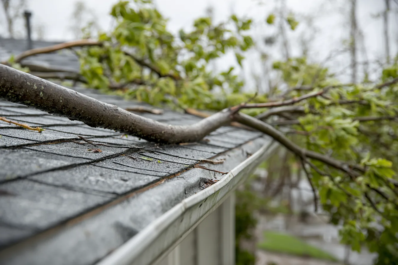
Trees and limbs down at a residence in Independence.
Reported source: NWS Employee. NOAA event 1293385. Source data file
Thunderstorm Wind
Fairmont
Several social media reports of trees and limbs down in Independence.
Reported source: Public. NOAA event 1262487. Source data file
Thunderstorm Wind
Independence Mem Arp
Report of tree limbs down near Ashford Court.
Reported source: Public. NOAA event 1262490. Source data file
Thunderstorm Wind
East Independence
Downed tree near Route 291 and U.S. Highway 24.
Reported source: Public. NOAA event 1293378. Source data file
Tornado
East Independence
Storm survey found evidence of a 3.7 mile long EF-1 tornado in Jackson County in the Independence area. Essentially all of the damage was uprooted trees and large tree branches snapped.
Reported source: NWS Storm Survey. NOAA event 1256632. Source data file
Thunderstorm Wind
East Independence
EM relayed images of multiple trees snapped, downed over roadway, or on homes. This damage was likely tornado damage.
Reported source: Emergency Manager. NOAA event 1272265. Source data file
Thunderstorm Wind
Independence Mem Arp
Several reports of downed trees north of Lake Tapawingo.
Reported source: Public. NOAA event 1272268. Source data file
Thunderstorm Wind
Blue Summit
Multiple reports of downed trees between Independence and Raytown.
Reported source: Public. NOAA event 1272269. Source data file
Thunderstorm Wind
East Independence
Several downed trees near Truman Road east of Route 291.
Reported source: Public. NOAA event 1274211. Source data file
Thunderstorm Wind
East Independence
Several downed or snapped trees near Lees Summit Road in Independence.
Reported source: Public. NOAA event 1274251. Source data file
Thunderstorm Wind
East Independence
Downed tree onto a boat at a residence near Jackson Drive.
Reported source: Public. NOAA event 1274265. Source data file
Thunderstorm Wind
Fairmont
Tree limbs down in Independence.
Reported source: Public. NOAA event 1246276. Source data file
Hail
Independence
Half dollar sized hail reported.
Reported source: Public. NOAA event 1261751. Source data file
Hail
Fairmont
Quarter sized hail reported in western Independence.
Reported source: Public. NOAA event 1261752. Source data file
Thunderstorm Wind
Fairmont
Windows blown out at residence in Independence.
Reported source: Public. NOAA event 1246484. Source data file
Thunderstorm Wind
Lake Tapawingo
Peak gust of 81 mph measured from personal weather station just north of Independence Center.
Reported source: Trained Spotter. NOAA event 1187724. Source data file
Thunderstorm Wind
Independence
Measured gust of 80 mph with large oak trees downed just southwest of downtown Independence.
Reported source: Public. NOAA event 1187729. Source data file
Thunderstorm Wind
Independence
Estimated 60 mph winds in Independence.
Reported source: Trained Spotter. NOAA event 1178298. Source data file
Thunderstorm Wind
Blue Summit
Large tree limbs downed across Independence. Estimated 60 mph wind gusts.
Reported source: Trained Spotter. NOAA event 1129516. Source data file
No records match these filters. Try another year or event type, or reset to see the full selection.
Connect the date with your own observations
A hail size in a report is what someone measured or estimated at one spot. Hail falls in narrow, uneven swaths, so a report from across town can describe stones your roof never saw, or miss ones it did. Wind reports work the same way: a downed tree on one street says little about the next street over.
Write down when you first saw missing material, indoor water or another change. Keep accessible photos and any old repair information together. A roofer can then consider the current condition with that history; a date match does not replace an inspection.
For the physical roof question, see storm damage roofing help. For policy and payment questions, the Missouri insurance guide points to the appropriate insurance authority.
What these weather records establish
The source is the NOAA NCEI Storm Events bulk archive. This selection uses the 2023 file revised March 23, 2026, the 2024 file revised July 28, 2026 and the 2025 file revised August 19, 2026, retrieved September 21, 2026.
The selection includes Missouri records assigned to Jackson County for Hail, Thunderstorm Wind or Tornado, then retains entries with “Independence” in the beginning location, ending location or event narrative. Other Jackson County observations and events outside 2023–2025 are not included. This is a named-location reference rather than a complete city storm history.
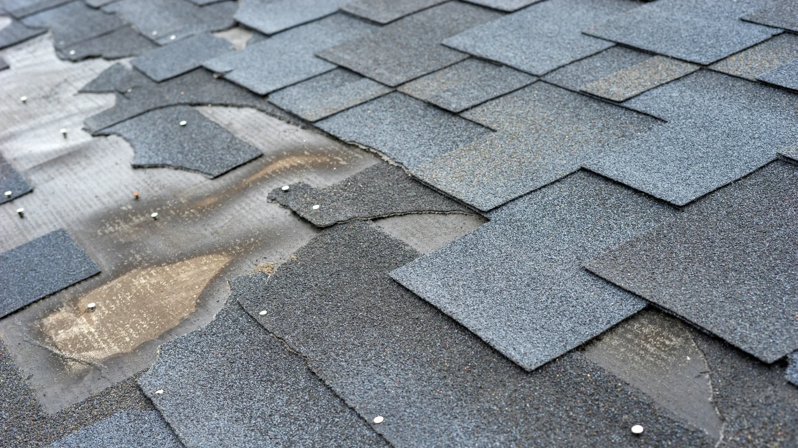
A wind report may be measured, estimated or based on observed damage. A hail report describes the reported size at that observation. The record’s event type and narrative should be read together; an observation alone cannot establish a roof’s condition.
Concerned about your roof after weather?
Tell us what you have noticed at the property and when it appeared. A free inspection can establish the roof question that a weather archive cannot answer.
Call (816) 427-2878